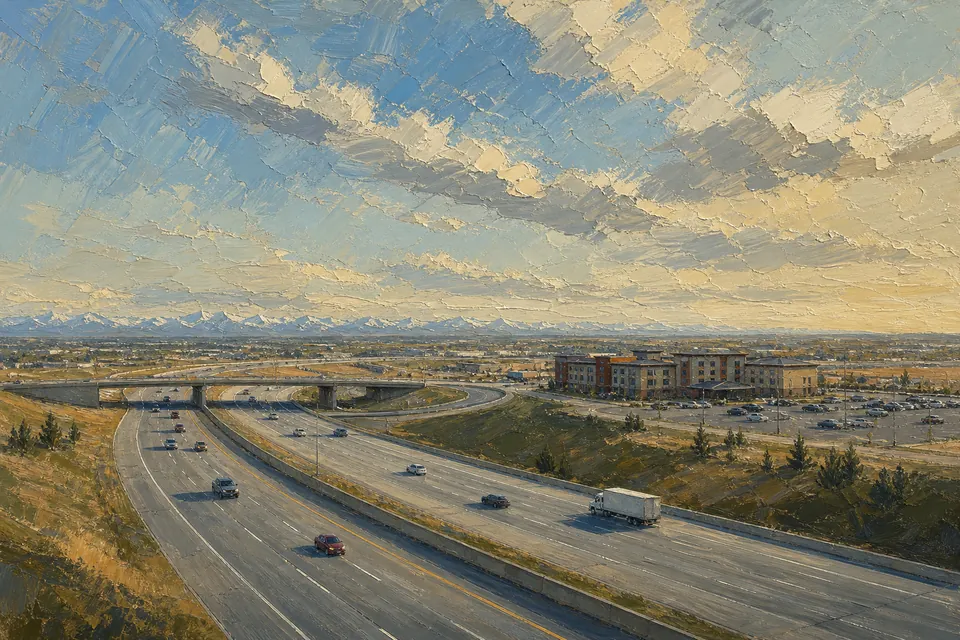
The basics
| Item | Detail |
|---|---|
| Length | 46.4 km, the Calgary freeway section of Highway 2 |
| First section | Opened 1971 as the Blackfoot Trail Freeway |
| Name | Renamed 1974 after Deerfoot, a 19th-century Siksika Nation long-distance runner |
| Fully free-flowing | 2005, when the last of four signalled intersections in the south-east became an interchange |
| Lanes | Four to ten |
| Speed limit | 110 km/h at the south end, 100 km/h for about 34 km through most of Calgary, 110 km/h again north of Beddington Trail |
| Traffic | Over 151,000 vehicles a day at Memorial Drive in 2025, Alberta's busiest road |
| Current works | A four-year, $800 million programme begun in 2023 to twin the Ivor Strong Bridge, widen six-lane sections to eight and rebuild interchanges |
Kilometre posts near the hotel
Distances count from the south end of Deerfoot, where it splits from Macleod Trail near De Winton.
- km8.3
Exit 234: Stoney Trail
The ring road. Useful for reaching the west side or the airport without crossing the centre.
- km11.9
Exit 236: McKenzie Towne Blvd / McKenzie Lake Blvd
South-east suburbs.
- km13.6
Exit 238: 130 Avenue SE
The exit before Barlow Trail when you are driving north.
- km15.1
Exit 240: Barlow Trail
The hotel's exit. Barlow Trail heads north; 114 Avenue SE is about 0.9 km along.
- km16.8
Exit 241: 24 Street SE / Douglasdale Blvd
Next exit north.
- km18.0
Ivor Strong Bridge
Crosses the Bow River; named after John Ivor Strong, Calgary's chief commissioner until 1971.
- km18.4
Exit 243: Anderson Road / Bow Bottom Trail
The first exit north of the river crossing.
- km20.1
Exit 245: Southland Drive
Heading towards the city's inner south.
- km23.1
Exit 248: Glenmore Trail
Major east–west expressway.
- km25.4
Calf Robe Bridge
Named after a Siksika Nation elder.
- km26.7
Exit 251: Peigan Trail / Barlow Trail south
The other end of Barlow Trail's southern section.
Source: Wikipedia exit list for Deerfoot Trail and route table for Barlow Trail, read 31 October 2026.
Barlow Trail, the hotel's street
Barlow Trail is not one road but three disconnected pieces. The southern section runs from Deerfoot near 130 Avenue SE to Deerfoot again at Peigan Trail, and the hotel stands beside it. The road is named after Noel Barlow of Carseland, Alberta, who served as ground crewman to the Second World War flying ace Douglas Bader. Before Deerfoot existed, Barlow Trail carried Highway 2 traffic into the city; the new freeway took over that job in the 1970s.
The reputation
Deerfoot carries about twice the traffic it was designed for, according to the same article, and is known for rush-hour congestion and collisions. Practical consequences for hotel guests:
- The 24-minute airport estimate is a quiet-road figure. Weekday peaks can stretch it considerably.
- Ramps and merges near interchanges are where the slowdowns form. Give yourself the right lane early before exit 240.
- Construction under the 2023–2027 programme can close lanes or ramps. Check 511 Alberta before an important drive.
Speed and safety, briefly
Most of the stretch through the city is posted at 100 km/h. A cable barrier runs along parts of the northern median, which Wikipedia describes as the first major installation of its kind in Canada. None of this changes the advice every Calgary driver gives visitors: leave room, signal early, and do not treat the posted limit as a target in snow.
Why name a hotel after a freeway
The answer is in the guest list. The hotel's own pitch leans on the casino, the shows and the rooms, but its address puts it one exit from Alberta's main north–south artery. For anyone driving between Edmonton and the U.S. border, or between the airport and the south of the city, it is on the way. Read about the man behind the name in the log entry on Deerfoot.